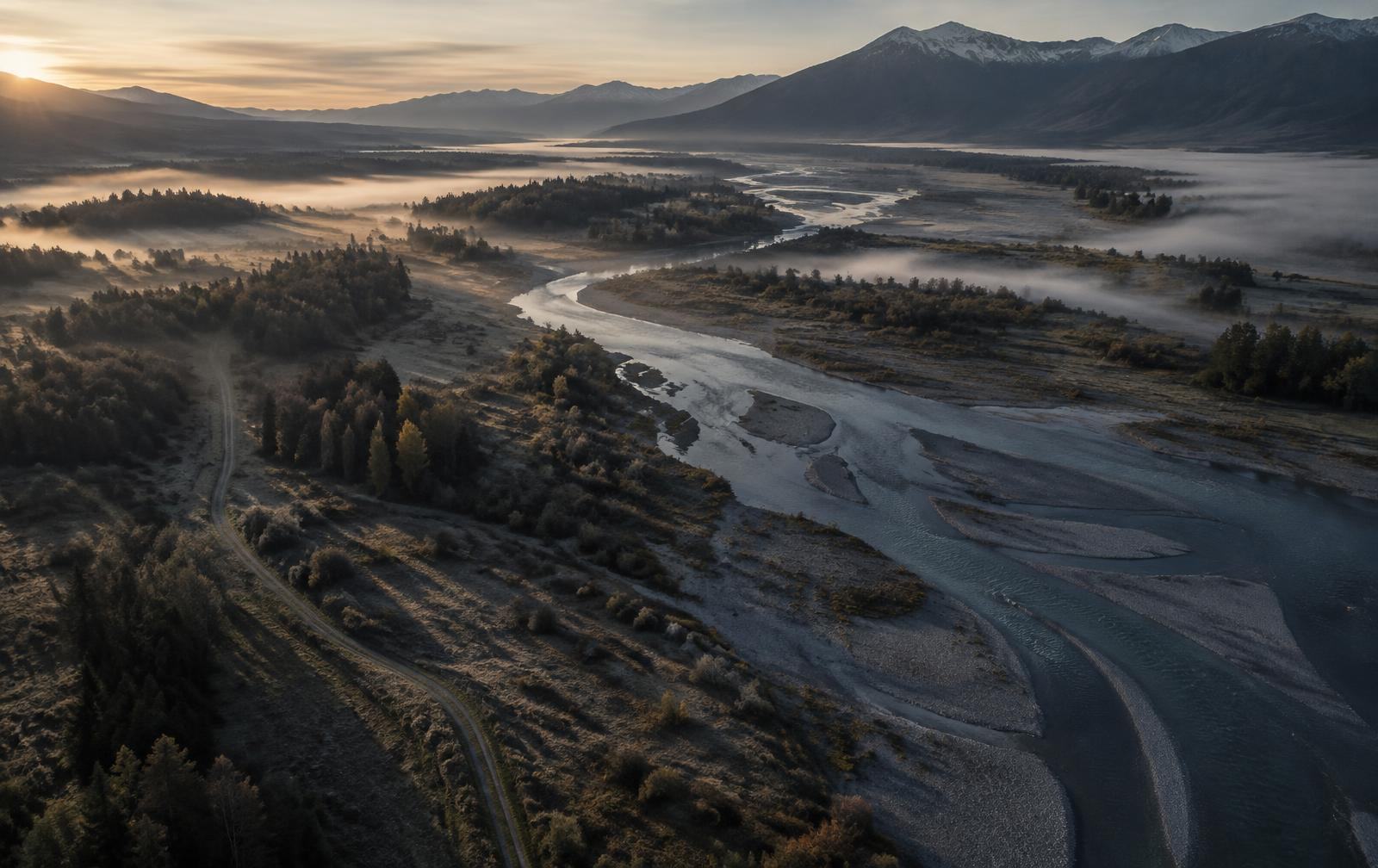
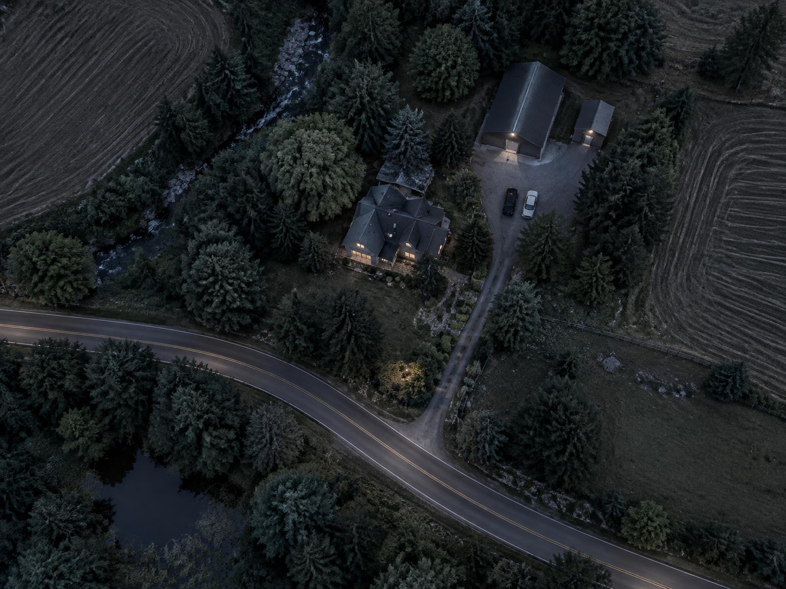
A higher vantage, used with care: optical and thermal imaging for site and asset observation, rural and forest search, missing-person support and incident documentation — each mission scoped, lawful and bounded before anything leaves the ground.
An overhead view shows how a site, a route or a stretch of terrain actually fits together — and, with thermal imaging, where temperature differs. It adds to protection and search work; it doesn't replace judgment on the ground.
Terrain, access routes, structures, the people on the ground and the authority to fly all bear on one another. We plan a mission around those relationships, not around the aircraft.
Terrain
Access routes
Structures
People on the ground
Authorization
Aerial reconnaissance is a developing service area. Each mission is assessed on its own, and availability is confirmed in writing for that engagement, not assumed.
One authorized area, two kinds of image — each with its limits.
02 / What can be scoped
Six kinds of aerial mission.
Each can be engaged on its own or alongside other protection work. Every mission begins with a conversation about purpose and authority, and the proposal sets out area, timing, imaging and who is responsible for each part.
A / Survey
Aerial Visual Imaging & Observation
Overhead imagery and observation for site, property, perimeter and asset surveys: how a place is laid out, how it can be approached and what is visible from above — within an agreed area and time window.
B / Thermal
Thermal-Imaging Support
Where a suitable sensor is available and conditions allow, thermal imaging adds a view of temperature contrast to visual imagery, including thermal search over rural land and forest. It shows heat differences, not identity, and weather, terrain, canopy, cover and time of day all limit what it can show.
C / Review
Authorized Site Vulnerability Review
With the owner's written authorization, an overhead look at the client's own property or facility: how it can be approached, what is visible from outside and where cover, lighting or layout leave gaps worth addressing.
D / Search
Search & Rescue and Missing-Person Location Support
Aerial search support for missing-person and search-and-rescue efforts, working under the direction of the responsible authority or search lead to help cover difficult ground and report what is observed.
E / Incident
Incident Documentation & Situational Awareness
Imaging that documents the condition of a site after an incident, storm or disaster, and gives decision-makers a clearer overhead picture of a developing situation.
F / Public safety
Authorized Public-Safety Search Support
Aerial imaging support for a public-safety agency's lawful, agency-authorized search, including helping to locate a person the agency is seeking. Protection Architecture supports the agency's mission; it has no law-enforcement powers, does not identify suspects or obtain warrants, and makes no determinations about anyone.
03 / Where aerial work helps
Search, review and documentation.
Three kinds of setting where a higher vantage can add to the picture, always within an authorized purpose, area and time window.
Search support
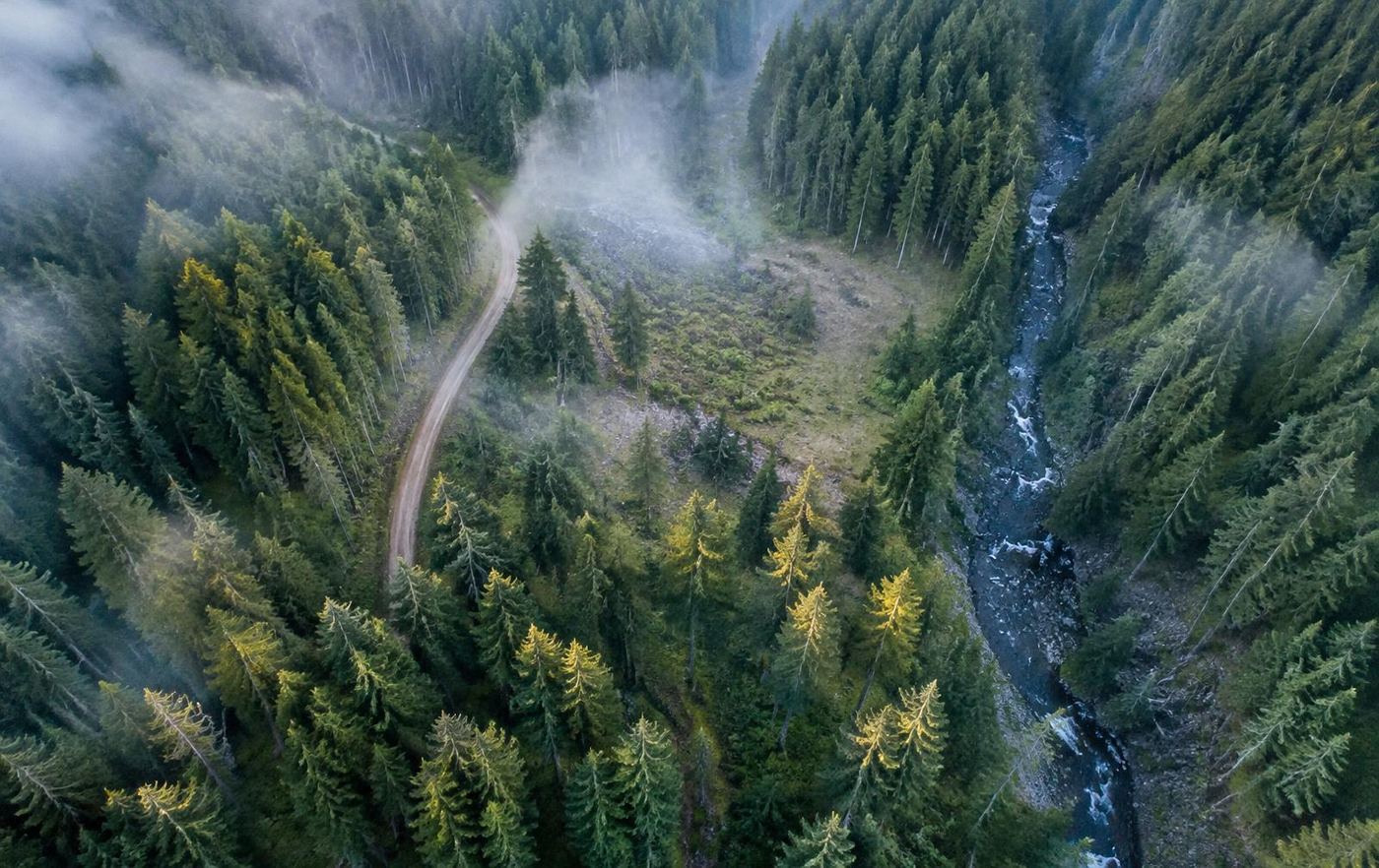
Forest and difficult ground
Authorized search support over rural land and forest, under the direction of the responsible authority or search lead.
Authorized site review
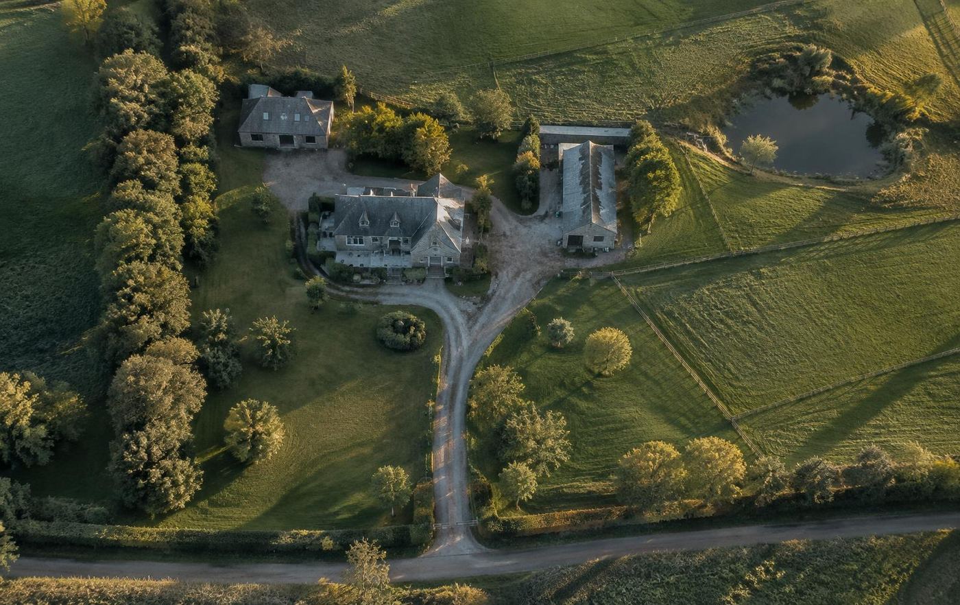
A property from above
With the owner's written authorization: how a site is laid out, how it can be approached and where cover or lighting leave gaps.
Thermal contrast
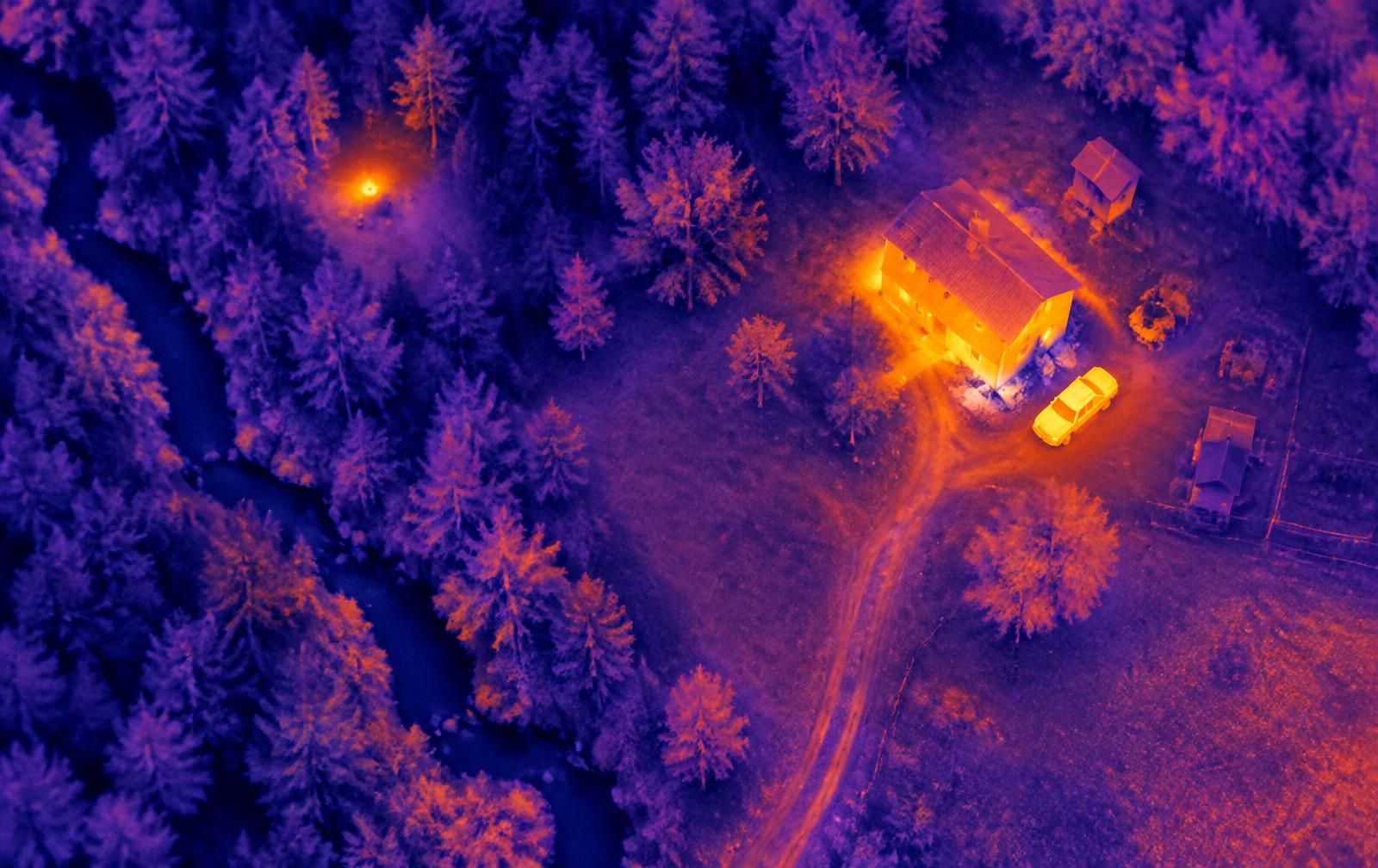
Temperature, not identity
Thermal shows heat differences; it cannot see through walls or identify anyone.
04 / THERMAL
What thermal can show, and what it can't.
Thermal imaging detects differences in temperature. A warm roof, a recently driven vehicle or a person in a cold clearing can stand out against cooler ground, which is why it can help a search in rural land and forest.
It doesn't see through walls, dense canopy or solid cover, and it doesn't tell you who someone is. Rain, fog, sun-warmed ground and time of day can all hide or mimic a heat signature. Thermal observations are reported as possibilities to check on the ground, never as identification.
05 / LAYERED PROTECTION
Every mission sits inside its limits.
Aerial imaging is only as trustworthy as the limits around it. Authority, flight conditions, what is captured and how it is kept each protect the people and property involved, including those who are not the subject of the mission.
1
Purpose & authorizationGovernance
A defined, lawful purpose with written authorization for this mission.
2
Airspace, pilot & conditionsPhysical
The rules that apply to the flight, a qualified pilot, and weather that allows it.
3
Visual & thermal imageryDigital
Collection limited to the agreed area and time window, reported with its limits.
4
Data handling & custodyDigital
Retention, access and, where needed, chain of custody for what is captured.
The mission purpose
Client
Area
Airspace
Pilot
People on the ground
Records
06 / Before any flight
Confirmed before a mission is accepted.
01
Purpose and scope
What the mission is for, the area and time window, and what will and will not be imaged.
02
Authorization
Written authorization from the client for the specific mission and, for public-safety work, from the requesting agency.
03
Airspace and pilot
The FAA rules that apply to the flight, including remote-pilot certification and any airspace authorization or waiver required. Commercial small unmanned aircraft flights generally fall under 14 CFR Part 107. Agencies flying their own aircraft may hold separate public-aircraft authorizations; Protection Architecture does not assume coverage under any agency's authorization.
04
Aircraft, sensor and conditions
Whether a suitable aircraft and sensor are available for this mission, and whether weather and environment allow it to be flown and to produce useful imagery.
05
Privacy and civil liberties
Collection limited to the authorized purpose, with safeguards for people and property that are not the subject of the mission.
06
Data handling
What is captured, how long it is kept, who can access it and how it is shared — and, where imagery may be needed as evidence, how its integrity and chain of custody are preserved.
These are the conditions we confirm for each engagement. They are not a certification, and this page is not a statement that an aircraft, sensor or crew is available for any particular date, place or mission.
07 / BOUNDARIES
Scoped imaging, not surveillance.
Aerial work is accepted only for a defined, lawful purpose in a defined area and time. We do not carry out indiscriminate or covert surveillance, monitor people without lawful authority, or track individuals for private clients.
Public-safety support stays within the requesting agency's authority. We provide imagery and observations; decisions about people, enforcement and legal process remain with the agency.
Visual and thermal imagery can be incomplete or misleading. Observations are reported with their limits, never as certain identification.
This is not an emergency or response service. If someone is missing or in danger, contact local emergency services first.
08 / HOW IT FITS
Part of the wider protective picture.
Aerial imagery can inform physical protection assessments, residential and property surveys, travel advance work, asset protection and continuity planning, so the view from above sits with the rest of the picture.
Requests outside the United States are considered case by case, subject to the aviation, privacy and other law of the place concerned.
Tell us broadly what needs to be seen, where and why. No sensitive detail is needed in a first inquiry. We will discuss whether the mission can be lawfully authorized and scoped, then confirm what can be proposed.